
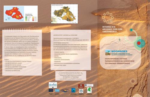
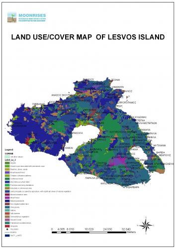
The project MOONRISES aims at the development and creation of an administrative tool for the estimation and the evaluation of the danger of desertation in regions that are degraded or present important environmental degradation. The use of innovative technologies as the Geographic Systems of Information, the Digital Cartographic Backgrounds, the application of modern calculating model, but also the action of exchange of experiences and good practices, contributed in the production of an administrative tool where are measures of prevention and protection are included, which constitute the frame in which the institutions for the avoidance and minimization of phenomenon of desertation are moved.
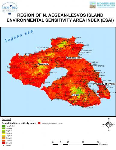
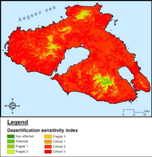
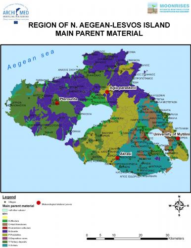
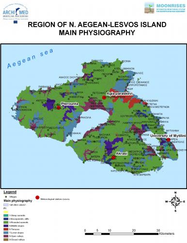
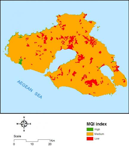
The project aims at the creation of an Integrated System for the follow-up and the assessment of dangers of desertation, with use of research of field, models and indicators of sensitivity, as well as with the use of modern technologies as the Systems of Geographic Information, Telescope and the Systems of location tracking. The main objective of the project is the recording, the follow-up and the forecast of dangers of desertation in regions of Peloponnese, Northern and Southern Aegean, Central Macedonia and Basilicata (Lugarno Italy), regions that suffer from the repercussions of desertation and degradation of natural resources.
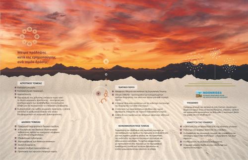
In consequence, the project aims in the classification of selected regions in the base of existing and potential dangers of desertation and in the development of tools and models that they will help in the follow-up, in the assessment and in the forecast of such threats, through the following energies:
- Recording and classification of dangers of desertation
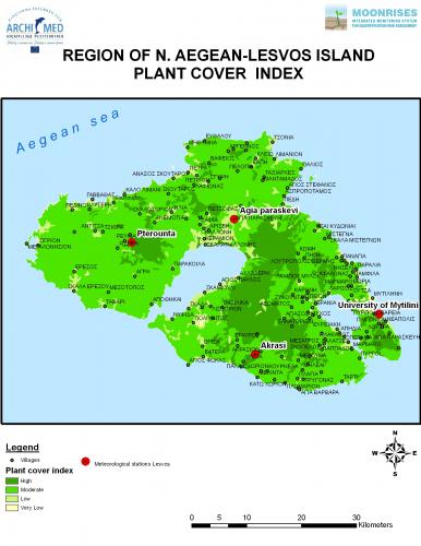
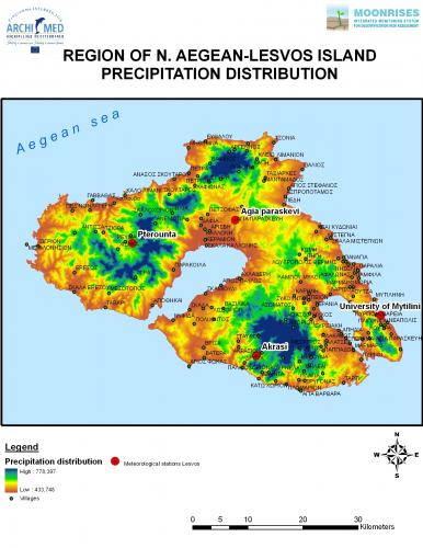
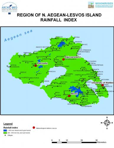
- Study of biophysical indicators
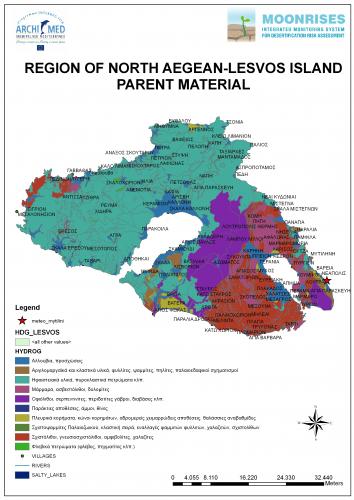
- Development of Thematic Territorial Databases
- Use of new technologies as General Informative Systems, Telescope and Systems of Decision-making so that dangers of desertation are tracked and forecasted


